Troglodytus Design 3 years ago - May 20, 2021
Update - SWITZERLAND 20m DEM - High Resolution Terrain Elevation Data from LIDAR Imaging
Troglodytus has updated their release to version 1.2.
Changes v1.2:
* Repaired Zurich Photogrammetry issue
* Excluded Zermatt Helipad
* Repaired Matterhorn
There are now 3 additional files:
* Matterhorn (1m DEM Swiss side, 5m DEM Italian side)
* Eiger-Mönch-Jungfrau + Lauberhorn/Wengen (2m DEM)
* Säntis (2m DEM)
If you experience any stutters or problems, just uninstall these additional files!

SWITZERLAND 20m DEM - High Resolution Terrain Elevation Data from LIDAR Imaging
SWITZERLAND 20m DEM - High Resolution Terrain Elevation Data from LIDAR Imaging is a Microsoft Flight Simulator mod created by Troglodytus. It has been released 03 May 2024 and downloaded 17.5K times since.
Troglodytus Design 3 years ago - May 19, 2021
Release - AUSTRIA 20m DEM - High Resolution Terrain Elevation Data from LIDAR Imaging
Troglodytus has uploaded a new file.

AUSTRIA 20m DEM - High Resolution Terrain Elevation Data from LIDAR Imaging
AUSTRIA 20m DEM - High Resolution Terrain Elevation Data from LIDAR Imaging is a Microsoft Flight Simulator mod created by Troglodytus. It has been released 03 May 2024 and downloaded 5.1K times since.
Troglodytus Design 3 years ago - May 19, 2021
Update - SWITZERLAND 20m DEM - High Resolution Terrain Elevation Data from LIDAR Imaging
Troglodytus has updated their release to version 1.1.
Changes v br br Fixed various issues and incompatibilities with rd party addons br Excluded Zurich Photogrammetry and LSZH - Should look fine now br Excluded LSZS Samedan br Excluded LSZA Lugano br Excluded LSZL Locarno br Excluded LSZW Thun br Excluded LSGG Geneve br br Included an extreme LIDAR Mesh of m resolution for Matterhorn br Unfortunately this does...
SWITZERLAND 20m DEM - High Resolution Terrain Elevation Data from LIDAR Imaging
SWITZERLAND 20m DEM - High Resolution Terrain Elevation Data from LIDAR Imaging is a Microsoft Flight Simulator mod created by Troglodytus. It has been released 03 May 2024 and downloaded 17.5K times since.
Troglodytus Design 3 years ago - May 19, 2021
Update - GERMAN ALPS 20m DEM - High Resolution Terrain Elevation Data from LIDAR Imaging
Troglodytus has updated their release to version 1.1.
Changes V1.1:
Fixes for some terrain glitches and/or incompatibilities with 3rd party addons
* Excluded EDDM and Munich Photogrammetry Area
* Excluded EDJA
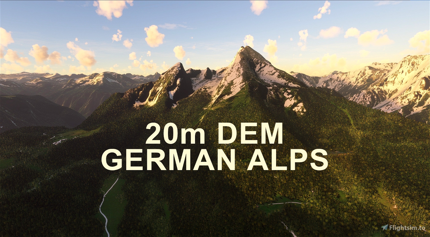
GERMAN ALPS 20m DEM - High Resolution Terrain Elevation Data from LIDAR Imaging
GERMAN ALPS 20m DEM - High Resolution Terrain Elevation Data from LIDAR Imaging is a Microsoft Flight Simulator mod created by Troglodytus. It has been released 03 May 2024 and downloaded 10.8K times since.
Troglodytus Design 3 years ago - May 18, 2021
Release - SLOVAKIA 20m DEM - High Resolution Terrain Elevation Data from LIDAR Imaging
Troglodytus has uploaded a new file.
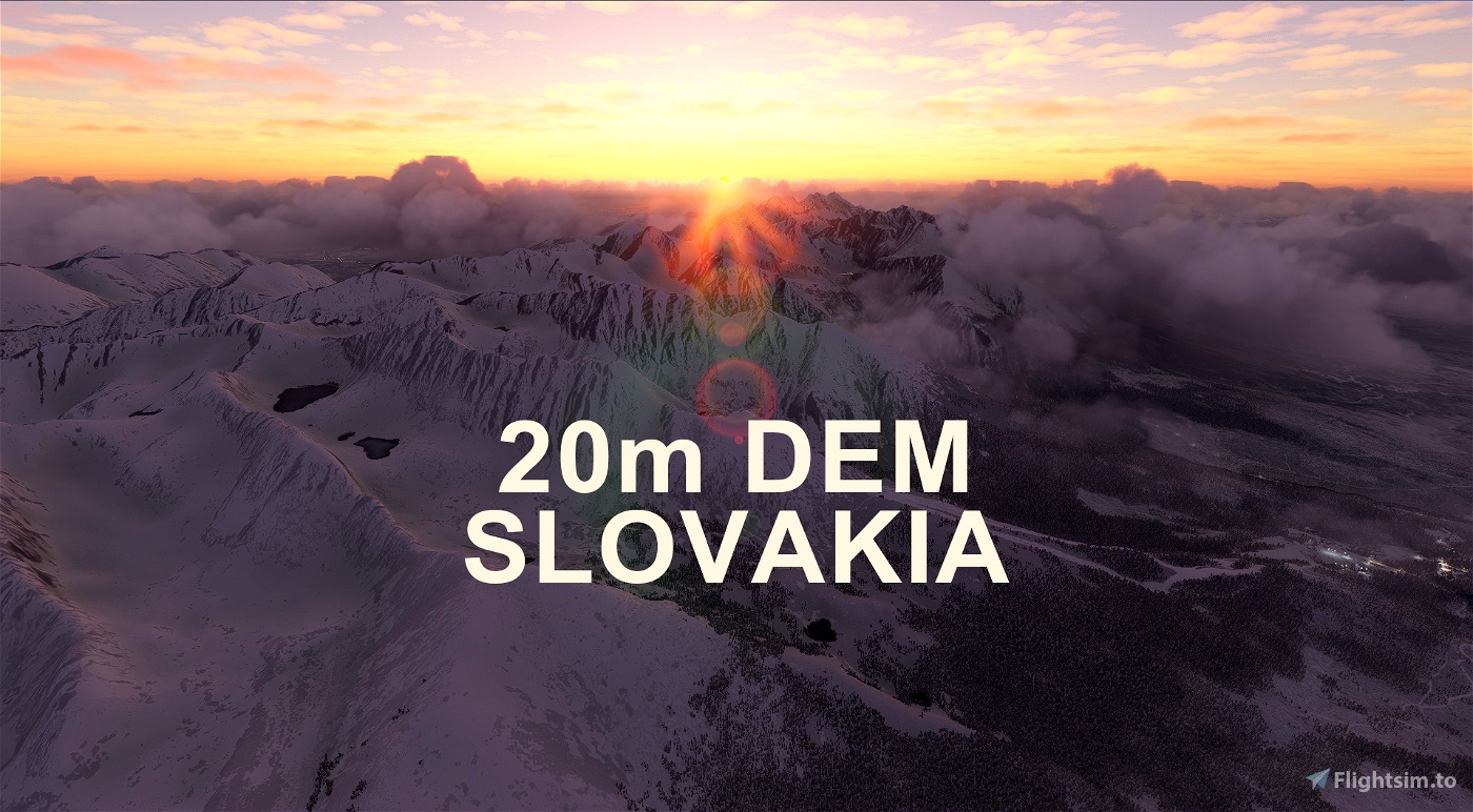
SLOVAKIA 20m DEM - High Resolution Terrain Elevation Data from LIDAR Imaging
SLOVAKIA 20m DEM - High Resolution Terrain Elevation Data from LIDAR Imaging is a Microsoft Flight Simulator mod created by Troglodytus. It has been released 03 May 2024 and downloaded 3.4K times since.
Troglodytus Design 3 years ago - May 18, 2021
Release - ITALIAN ALPS 20m DEM - High Resolution Terrain Elevation Data from LIDAR Imaging
Troglodytus has uploaded a new file.
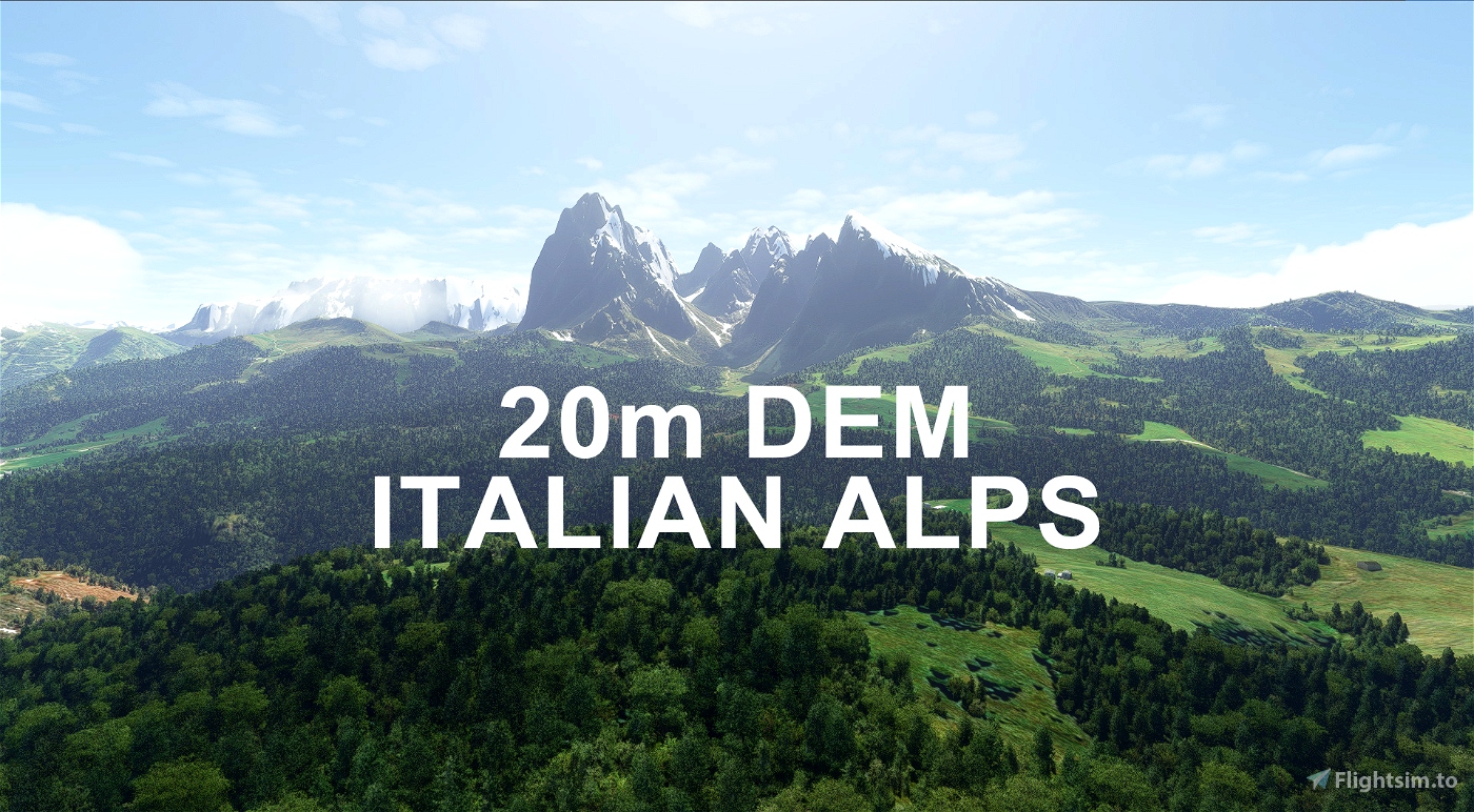
ITALIAN ALPS 20m DEM - High Resolution Terrain Elevation Data from LIDAR Imaging
ITALIAN ALPS 20m DEM - High Resolution Terrain Elevation Data from LIDAR Imaging is a Microsoft Flight Simulator mod created by Troglodytus. It has been released 03 May 2024 and downloaded 11.8K times since.