Specially for VFR flying Netherlands.
Zwolle Landmarks.
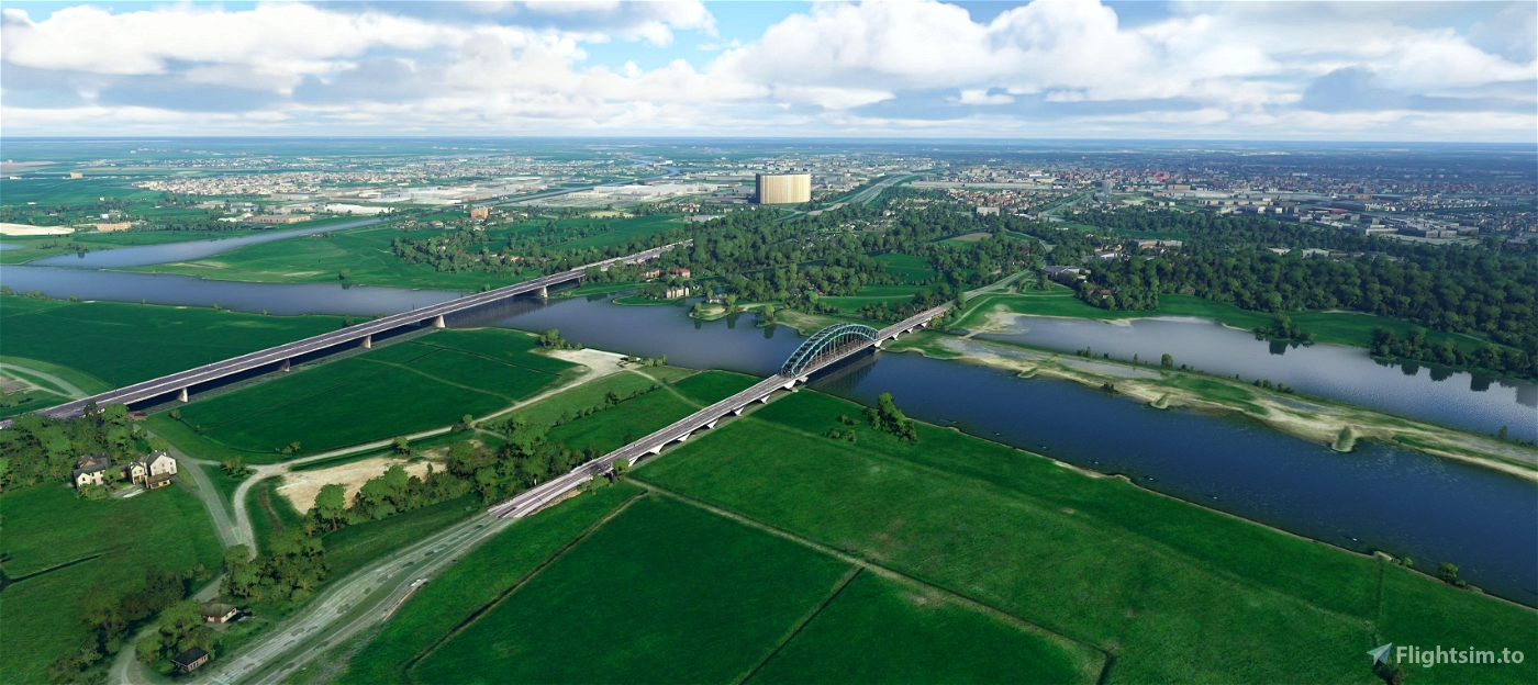
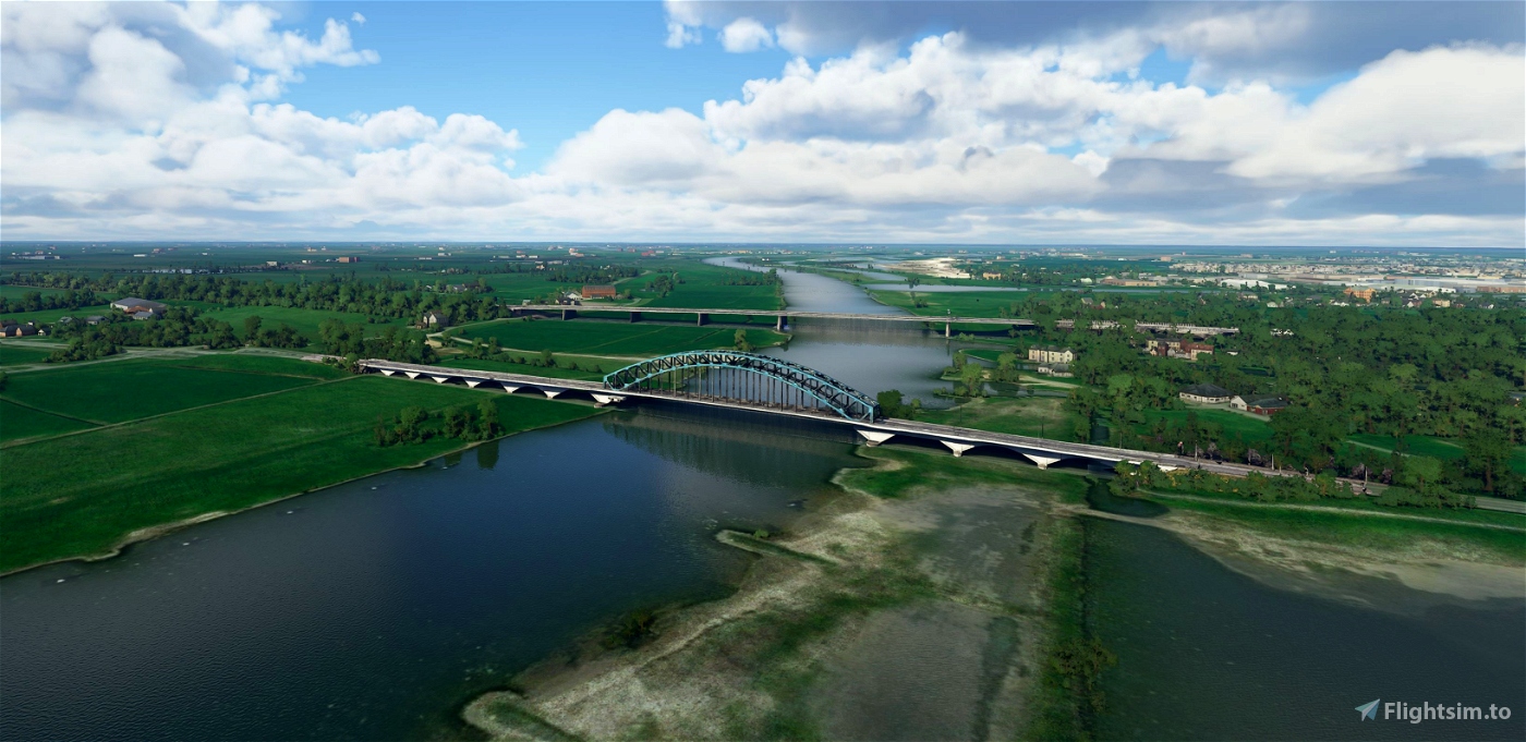
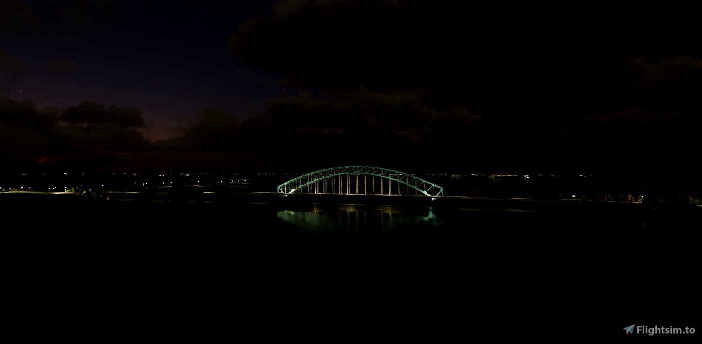
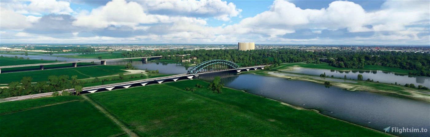
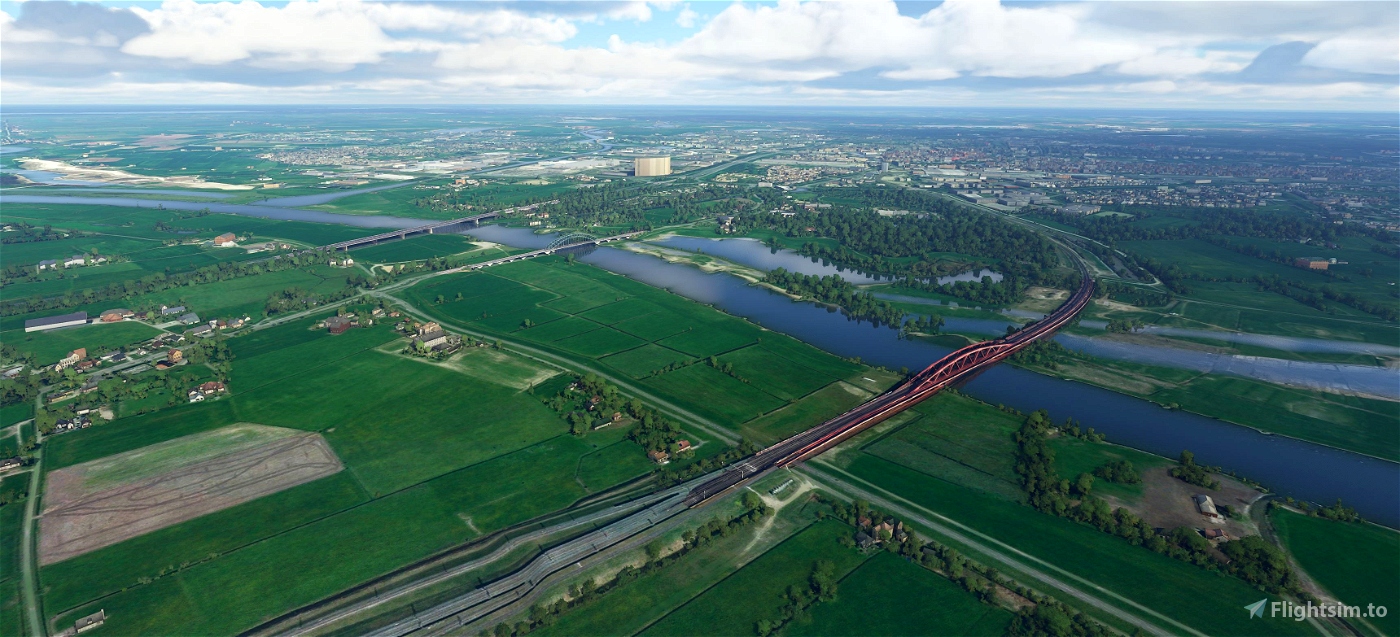
IJsselbrug (Zwolle)
The IJsselbrug (also known as Katerveerbrug (I)) forms the connection across the IJssel between Zwolle and Hattem. A few hundred meters from this bridge is the Nieuwe IJsselbrug in the A28 and a Hanzeboog on the Utrecht - Zwolle railway line.
History
Before the IJssel Bridge was created, the connection between the banks was provided by a ferry service, the Katerveer. In 1905, the Commission to bridge the IJssel near the Katerveer was established. The Zwolle mayor I.A. van Roijen pleaded several times in the Senate. 1000 guilders were collected for a first design. The bridge was finally opened in 1930 and the ferry service was discontinued at the same time.
In the early morning of May 10, 1940, the main part of the IJssel Bridge was blown up by the Dutch army to slow down the advance of the Germans. The steel arch bridge fell into the water, but the river piers and the embankments were spared. It took almost 3 years to restore the bridge. In January 1943, operation "in its original state" was completed. The wooden deck of the main bridge was replaced by a reinforced concrete version.
In 1945 the bridge was blown up for the second time, this time by the German army to make it difficult for the Allied troops to advance further. A Bailey bridge was temporarily constructed by the Allies. On October 4, 1947, the Minister of Public Works and Reconstruction, ir. H. Vos, reopened the IJsselbrug.
(source Wikipedia)
-----------------------------------------------------------
File credits
This free creation contains content from Google Maps or Google Earth. In accordance with Google Terms of Services and especially point 2.2 of Google Maps/Google Earth Additional Terms of Service, this creation is based on « fair use » or « fair dealing » of the data provided by google throught its services. No commercial use or any gain is or will ever be made by the author of this creation, who doesn’t own anything regarding google assets but a simple user Licence. According to the following document https://www.google.com/intl/en-GB/permissions/geoguidelines/, the author is freely sharing a creative application of Google Maps or Google Earth. The author will not recieve any form of retribution for sharing his work, even general donations from users of file hosting web services under the form of « rewards » or « tips ». If this content would be found somewhere where it is provided in exchange of money or any kind of retribution, I wouldn’t be with the consent of the author who will stick to strict free content creation diffusion.
Part of this content including 3d data and textures is copyrighted by
Imagery ©2020 Google, Imagery ©2020 CNES/ Airbus, Maxar Technologies,
USDA Farm Service Agency, Map data ©2020 Google.

 Geraldar98


4 years ago
4 years ago
Geraldar98
PHMAC