----
Hello!
I host a live stream every week where we explore the National Parks together!
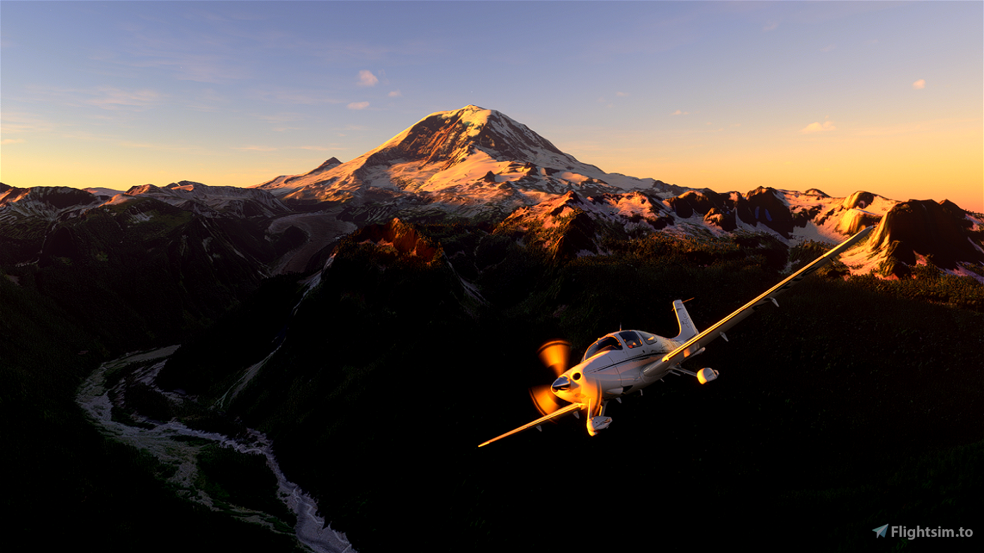
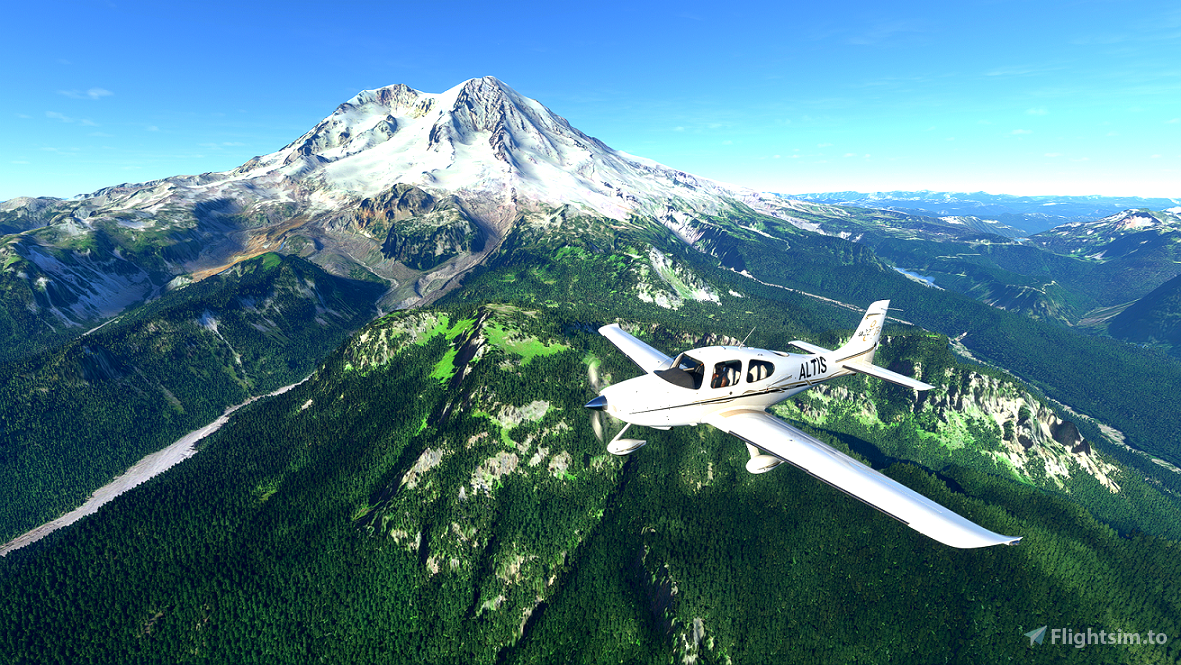
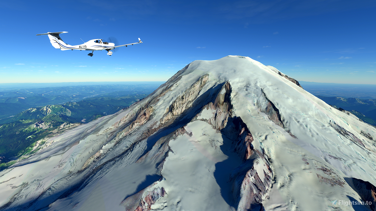
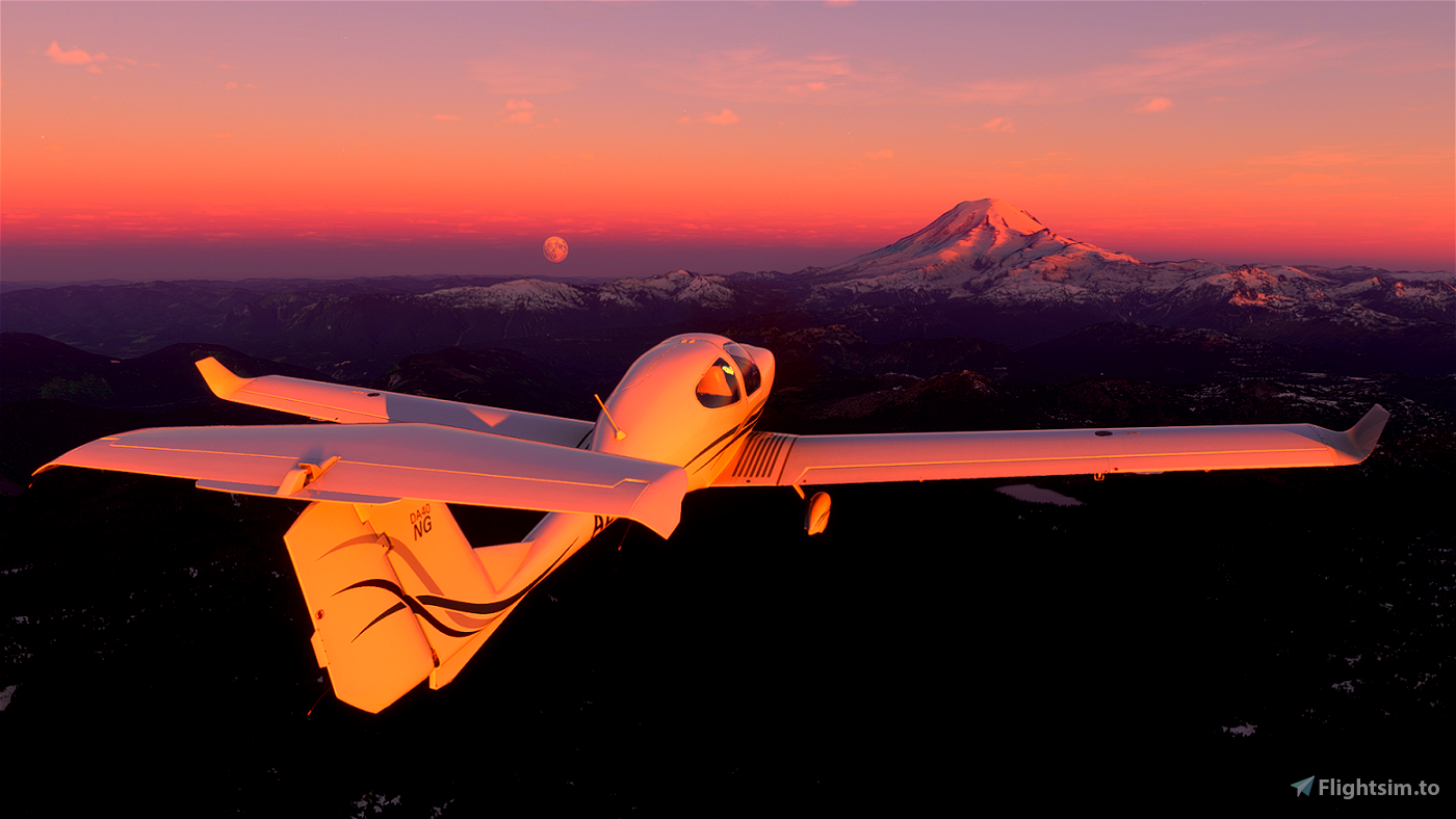
Before the stream, I research the park and help improve the park's Wikipedia pages. I also make a flight plan to showcase the park highlights and in case others want to fly along with me.
In the zip file you'll find:
- The .pln file with named waypoints (load this from the World Map screen of MSFS 2020)
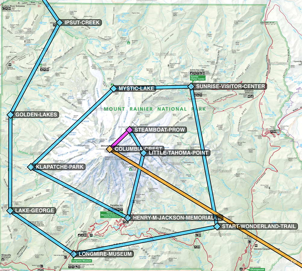
- Relevant park map(s)
- A screenshot of where this flight plan goes relative to the park map
- MBTiles file(s) in case you have Foreflight or another app which supports these (this is how I overlay the flight plan and the park map when I fly around)
- ForeFlight .fpl file which matches the .pln in case you prefer ForeFlight (consider using a tool like Flight-Events as a GPS/AHRS device)
All the best,
Jules Altis
P.s. I highly recommend pulling Wikipedia up on the side and looking at the park while you explore.
Updates:
v1.3 - Includes ForeFlight .fpl file (matches the .pln file)
v1.2 - Includes full sized park map for easy reference
v1.1 - Waypoints in .pln are named
v1.0 - .pln, screenshot, and MBTiles

 JulesAltis


I just gave this a go in VR (HP G2) with an early morning flight with high clouds in the Virus SW121 and it was nothing short of spectacular! I will be doing the flight again though as i didn't have the magenta line show up on the MFD's (did have a GPS line though) so i just eyeballed it around the mountain checking out the glaciers. Only afterwards did i notice how tight i went around and missed the points on the map further out. Looking forward to going again!
2 years ago
Thanks for the nice words, glad it was good in VR!
I figured out more recently what causes the world map to act up... It's this bug (https://forums.flightsimulator.com/t/vfr-map-losing-route-no-magenta-line/384360). You could edit the PLN file to shorten the waypoint names as a quick fix, otherwise when I go back and update this file (sometime in the future..), I'll include a version of the PLN with short names.
2 years ago
JulesAltis
icmdead
The landing and parking at SEATAC was a treat too.
Thanks as always!
3 years ago
3 years ago
JulesAltis
RichardPlantagenet