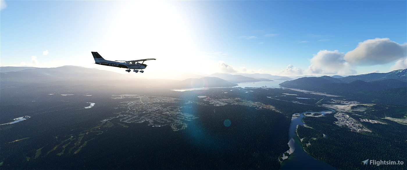
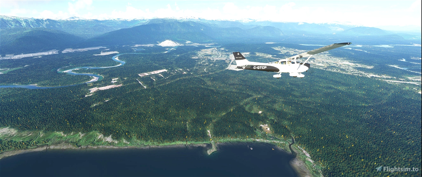
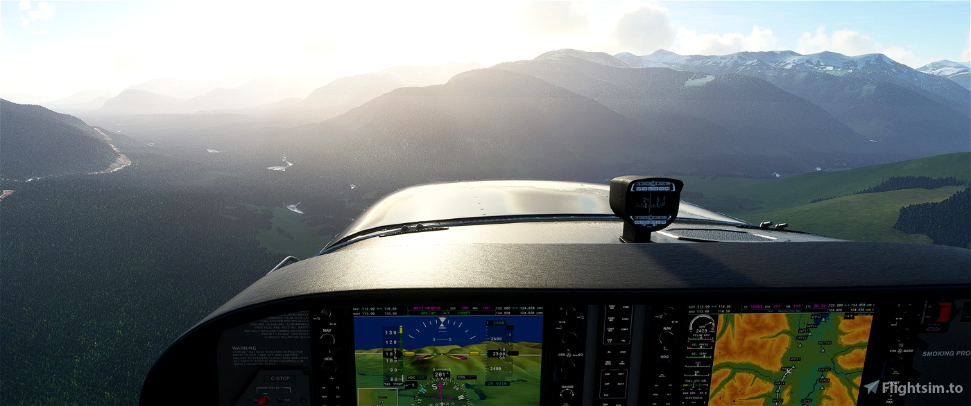
This is a flightplan that highlights the Kitimat Valley in British Columbia. It starts at the Terrace airport and finishes at the Kitimat Airpark. You can fly in AP/NAV mode and enjoy the scenery. I've included a readme doc that describes everything you'll see as you fly.
Please be sure to install my scenery packs before doing this tour:
https://flightsim.to/file/2365/terrace-british-columbia-cyxt
https://flightsim.to/file/2372/kitimat-british-columbia
or get them here: http://genaiss.com/other-interests
Recommended altitude is 2500'

 deltasim59er


Really enjoyed landing at your Terrace airport. Great activity. Too bad your airports are no longer available here. Why is that?
3 years ago
Still available on my site...easier for me to manage many sceneries... genaiss.com/other-interests
3 years ago
deltasim59er
ECPatterson
3 years ago
3 years ago
newtestleper
pizzamonster