First scenery.
-------------
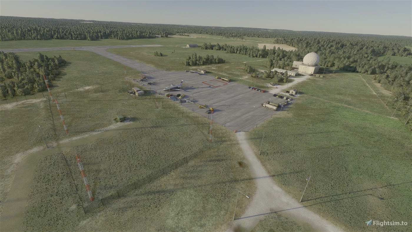
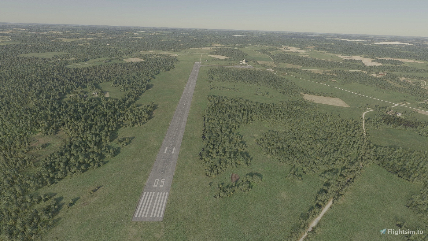
Rezekne airport is an uncertified airfield in Rēzekne Municipality. Located in Audriņi Parish in Kuciņi, northwest of Rēzekne, 10 km from the city center. The airfield has one 1300 m long and 40 m wide concrete runway. The owner of the airfield is the Ministry of Defence. NATO air defense radar TPS-117 is located near the airfield, which is able to control the airspace within a radius of 450 kilometers and at an altitude of 30 kilometers.
The civil airport was built in the 1970s and offered only the flight Rēzekne-Rīga, it was soon discontinued.
-------------
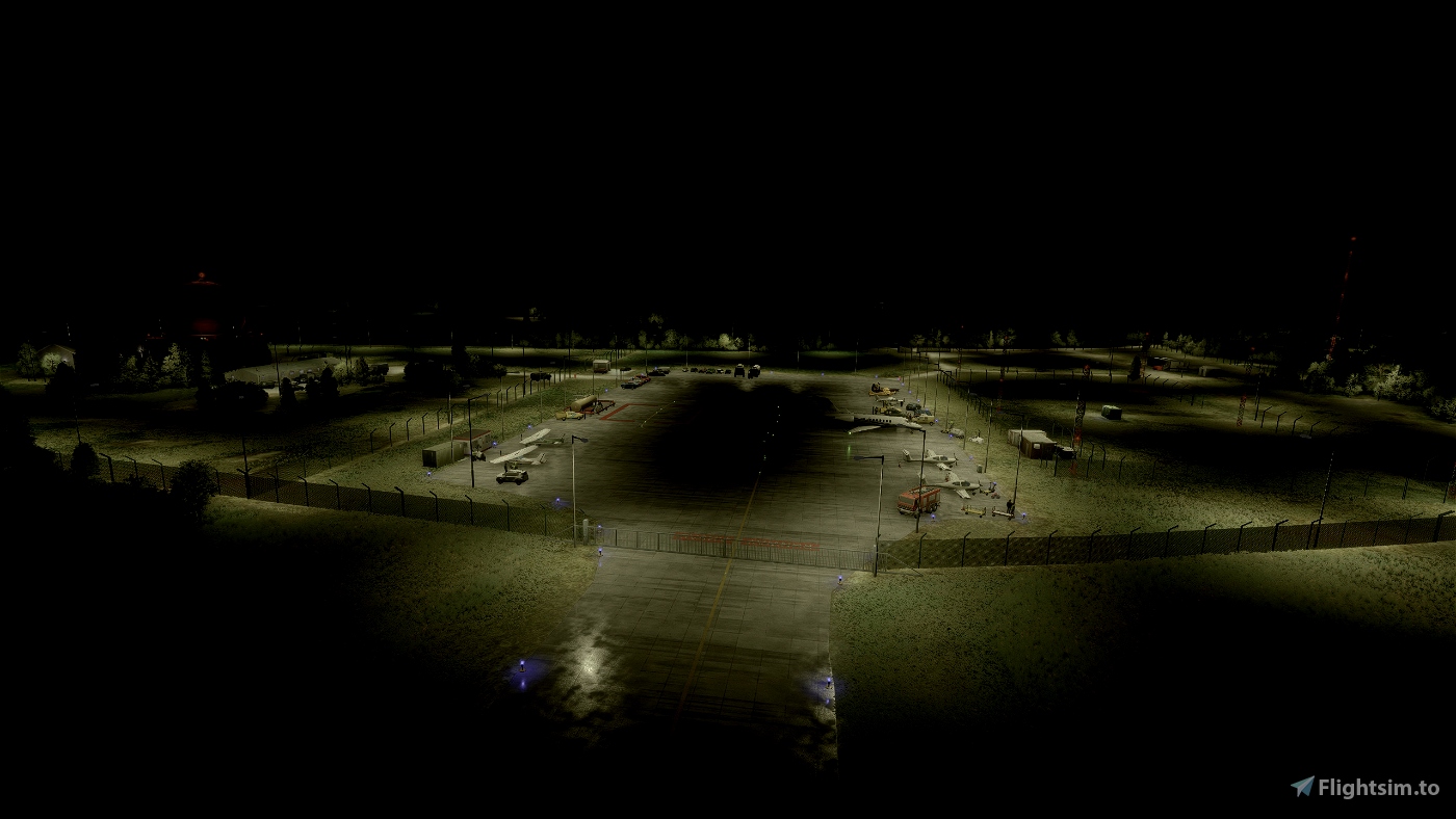
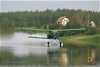
Airport refreshed and well visible at night. Better than default. This airport without ATC, ILS. Created on Bing Map (airport looks green).
EVRN not changed. Airport created for exploration eastern Latvia.
------------
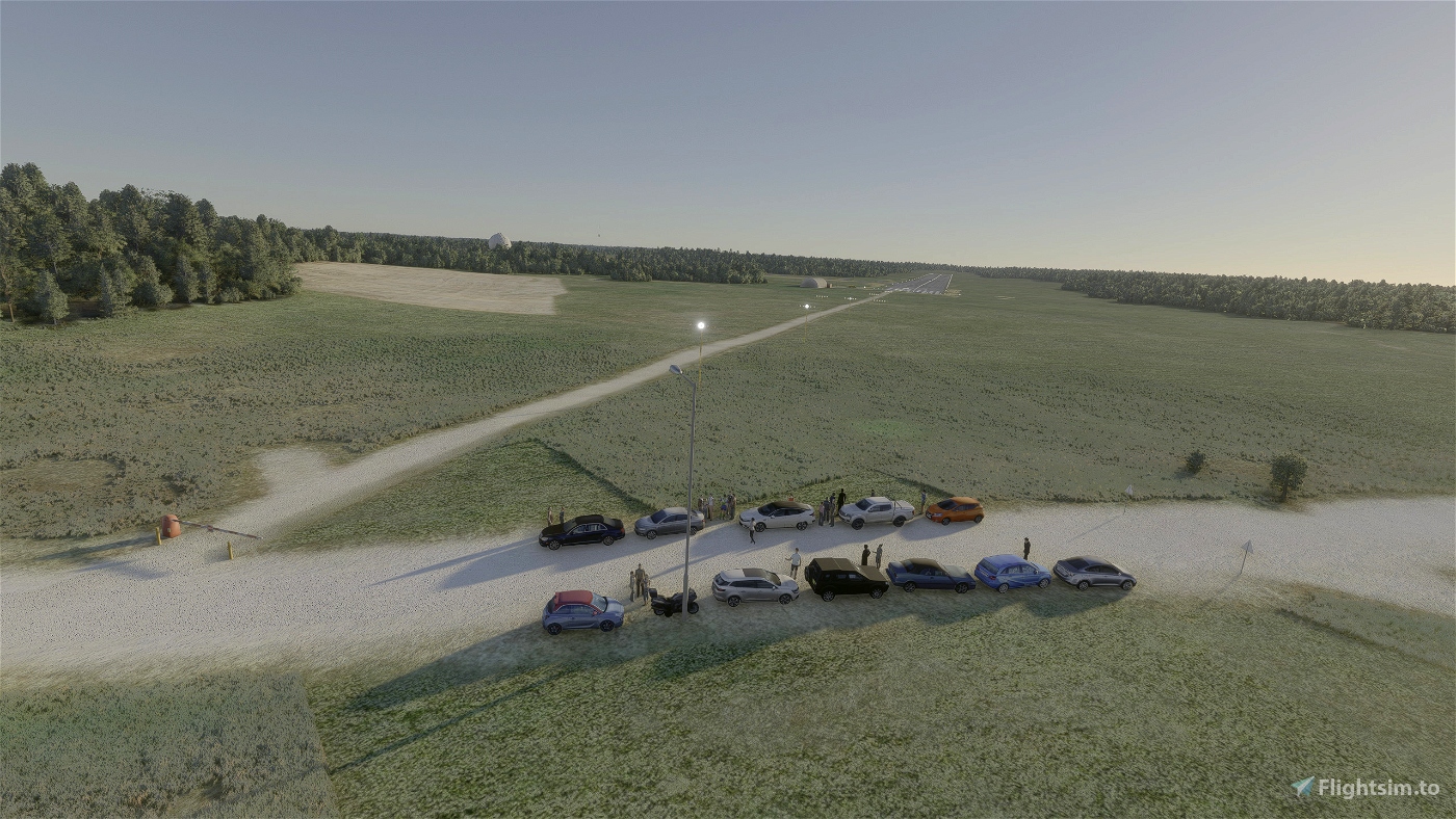
It contain various objects to make an airport live. Most objects not real due militar zone on site.
------------
Created:
APRON
RW23/5
1 PARKING
1 FUEL
-----------
Still learning to create own objects.
Improvement may expected in future in airport and town.


But the most important, ICAO code for the airfield is wrong, MSFS has given Rēzekne airfields code (ICAO: EVNA) to Kārķi airfield, which is actually a private grass field - closest hard surface airfield there is Plāņi. Any ideas how to fix it?
Edit: in real life RWY does not have approach or edge lights.
9 days ago
PolarPlane0987
10 days ago
CaptainMoonlight
13 days ago
168Studios
13 days ago
Maxest