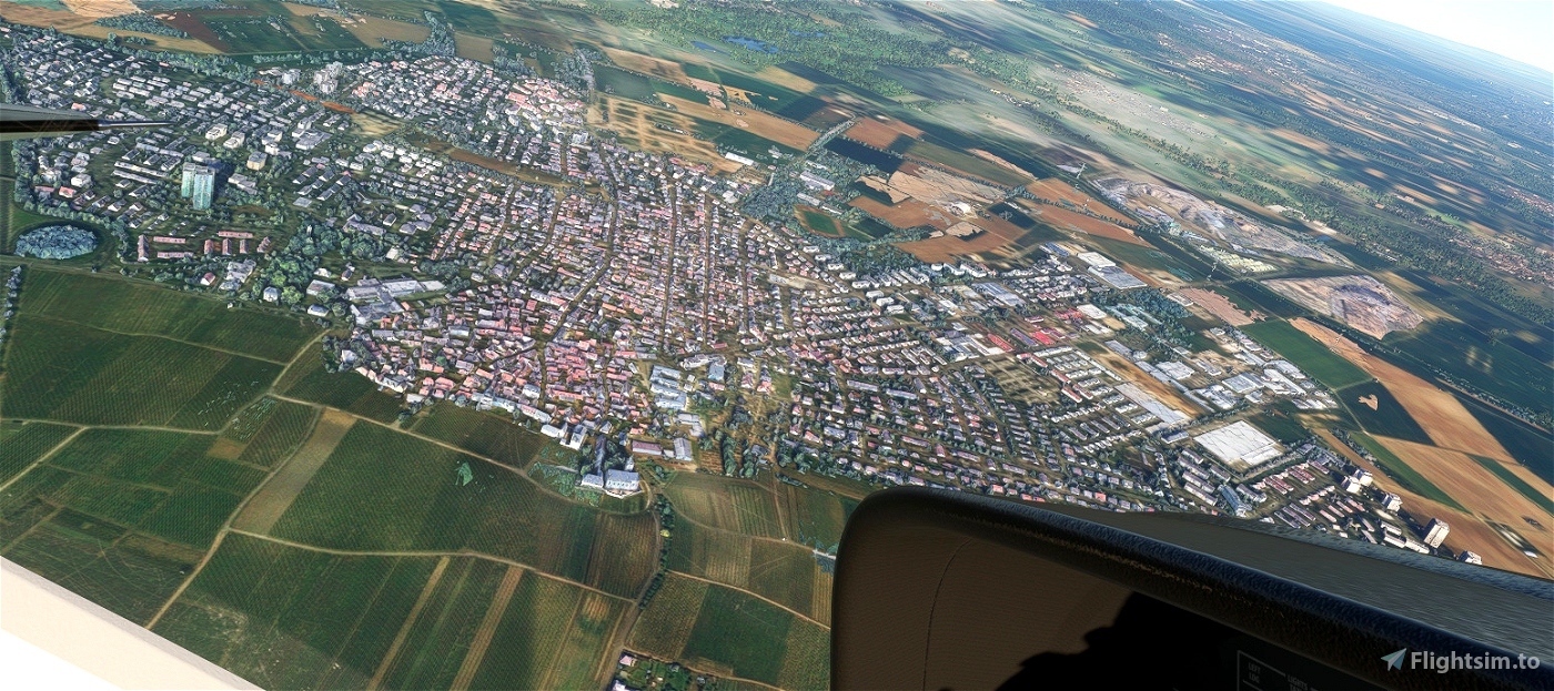
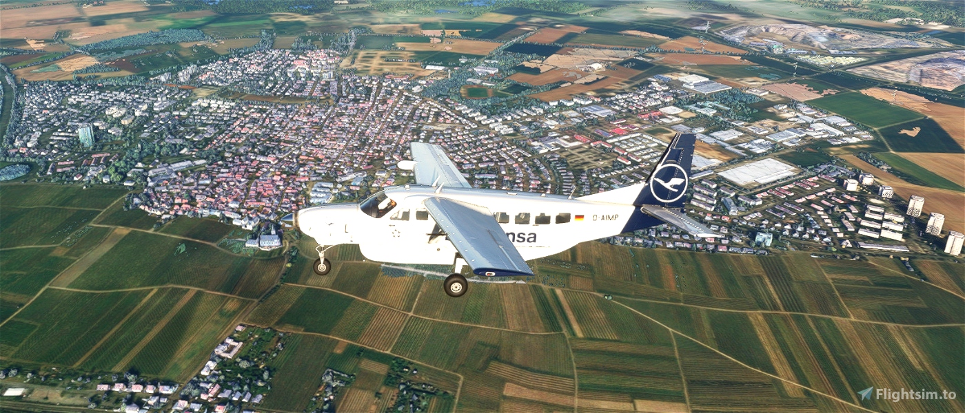
Hello there, I converted some photogrammetry data from Google Earth into MSFS.
This is for the small city Hochheim am Mainl, which is located north the Main river between Mainz and Frankfurt.
Its a nice-to-have for flying into Frankfurt Runways 07 (especially 07L).
Sadly the Google Bushes are ugly. :(
