
Islas de la Bahía (Honduras)
=====================
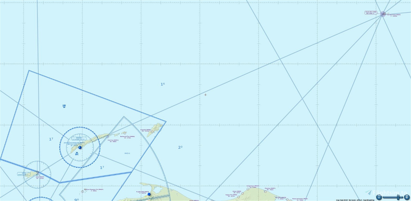
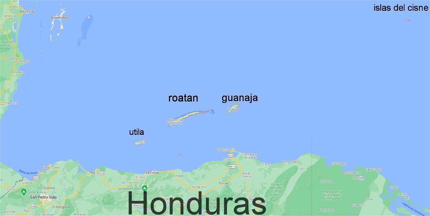
Major islands with airfields :Útila , Roatán, Guanaja , islas del cisne
Coordinates 16°23′N 86°24′W GPS : 16.112322, -86.882596
Archipelago Bay Islands is a group of 7 islands, about 65 kilometres (40 mi) off the northern coast of Honduras, with an Highest point of 1011 feet
Population 110,000 (2020)
Útila island (Útila Airport MHUT )
Roatan island (1 airport and 2 airfields - Juan Manuel Gálvez Intl MHRO, Fort Cay MHFC , Barbareta Pvt MHBA)
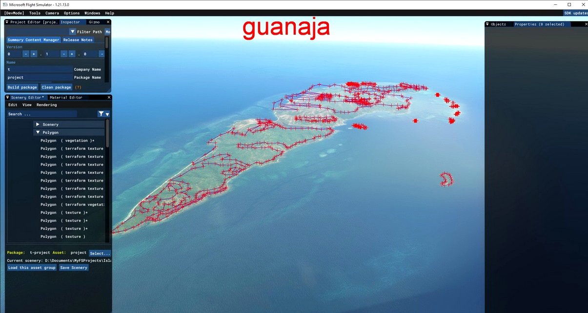
Guanaja island (Guanaja Airport MHNJ)
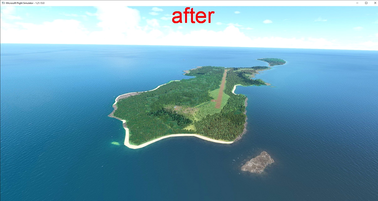
Islas del Cisne (Islas del Cisne airport MHIC)
v1.0
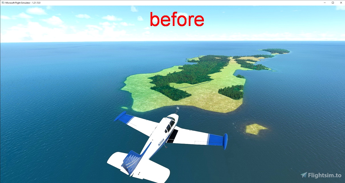
fix Guanaja and islas del cisne with vegetation and water exclusion (default scenery was very poor)
1..added vegetation polygone
2..added exclude water polygons
3..added terraforming
note: -I did not fix Roatan island because it has already been done : https://flightsim.to/file/6878/roatan-island-scenery-overhaul
-you can use it with my scenery
-Utila island default scenery is good so I did not touch it
v1.1
1..remove some trees too close of runway (on Islas del Cisne airport MHIC)

 timot75


thx mate please keep up the great work please make Palmerola International Airport
2 years ago
Corsair777