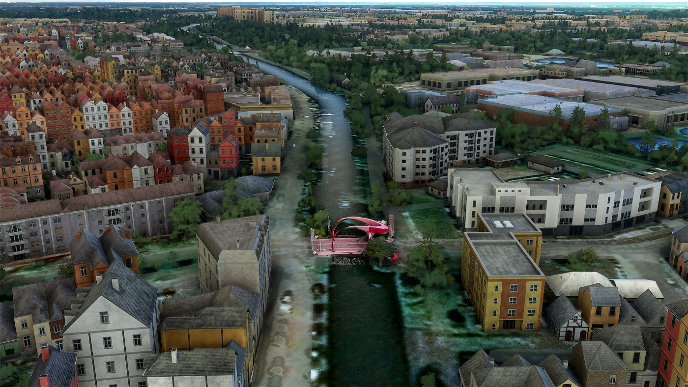
The river Vecht was partly canalised around this location in the Middle Ages, with meanders being cut through. This happened around 1300 at the Bemuurd Weerd. Around 1338 the construction of the Nieuwe Vecht followed.
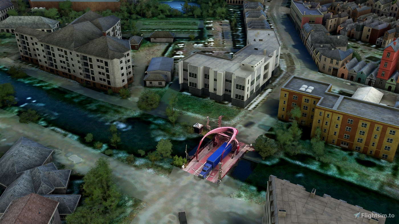
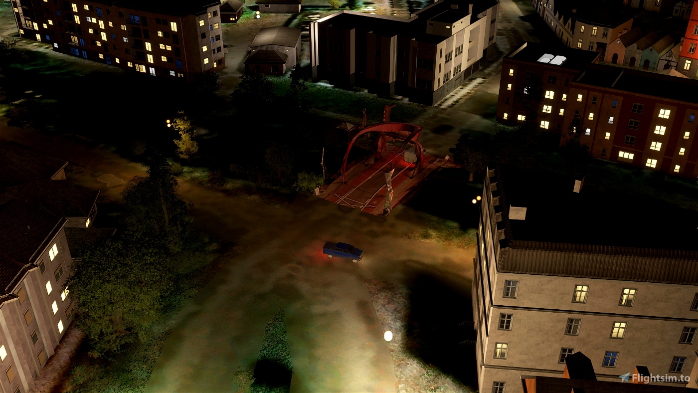
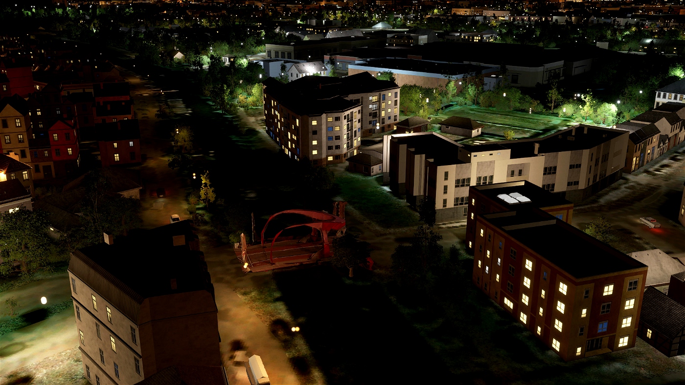
It is not known exactly how the current bridge name came about, but the color of the bridge probably plays a role in this. This fixed bridge was renewed several times, but was replaced by a drawbridge in 1621 because the existing bridge caused too much hindrance to shipping. A new double drawbridge was built between 1870-1890. In 1956 a new bridge was put into use as part of the main road to Overvecht. Two cars could not pass each other on the narrow bridge, which often resulted in dangerous traffic situations. In such cases, the police had to intervene from the police post located in the Hogelanden. This former police station was located next to the bridge at Hogelanden W.Z. 32. This building, dating from 1909, includes a turret. Around 2006, the office was renovated to accommodate healthcare for homeless alcohol addicts.
Due to increasing traffic, it was decided in 1984 to widen the bridge. In the summer, the bridge could become stuck due to expansion and that is why, since about the year 2000, the bridge has been cooled during the day in summer by spraying water on the bridge deck. When the bridge was approaching the end of its life, it was replaced in 2009 by a new bridge designed by Marja Haring. The demolition of the bridge started on November 3, 2008. The new bridge is again a red-colored drawbridge and will be in use from July 2009. The new bridge has raised bicycle lanes in both directions. Previously, cyclists had to share the narrow road with cars and city buses. In addition to the carriageways, the new bridge has an elevated bicycle and pedestrian path on both sides. However, on this widened bridge, two cars still cannot pass each other, despite the set two-way traffic. At the bridge is a partly wooden bridge keeper's house from 1890, which is a national monument. The name Red Bridge was also popularly used for a former nearby prostitution area along the Zandpad. (scource:Wikipedia)
Not a big VFR landmark but i had to make this because everybody in Utrecht knows this bridge (rest of NL too )
File credits
This free creation contains content from Google Maps or Google Earth. In accordance with Google Terms of Services and especially point 2.2 of Google Maps/Google Earth Additional Terms of Service, this creation is based on « fair use » or « fair dealing » of the data provided by google throught its services. No commercial use or any gain is or will ever be made by the author of this creation, who doesn’t own anything regarding google assets but a simple user Licence. According to the following document https://www.google.com/intl/en-GB/permissions/geoguidelines/, the author is freely sharing a creative application of Google Maps or Google Earth. The author will not recieve any form of retribution for sharing his work, even general donations from users of file hosting web services under the form of « rewards » or « tips ». If this content would be found somewhere where it is provided in exchange of money or any kind of retribution, I wouldn’t be with the consent of the author who will stick to strict free content creation diffusion.
Part of this content including 3d data and textures is copyrighted by
Imagery ©2020 Google, Imagery ©2020 CNES/ Airbus, Maxar Technologies,
USDA Farm Service Agency, Map data ©2020 Google.

 Spook48


1 months ago
CaptainMoonlight
4 years ago
4 years ago
Spook48
simbanl